Meta's neural network has built detailed maps of the world's forests
Meta and the World Resources Institute have released Canopy Height Maps v2, an open, AI-based map of forest canopy height. The model analyzes GEDI and Sentinel-1 satellite data and maps forest structure across the planet. The tool helps track deforestation, carbon stocks and ecosystem health. *Meta has been designated an extremist organization and is banned in Russia.
AI-processed from Meta AI Blog; edited by Hamidun News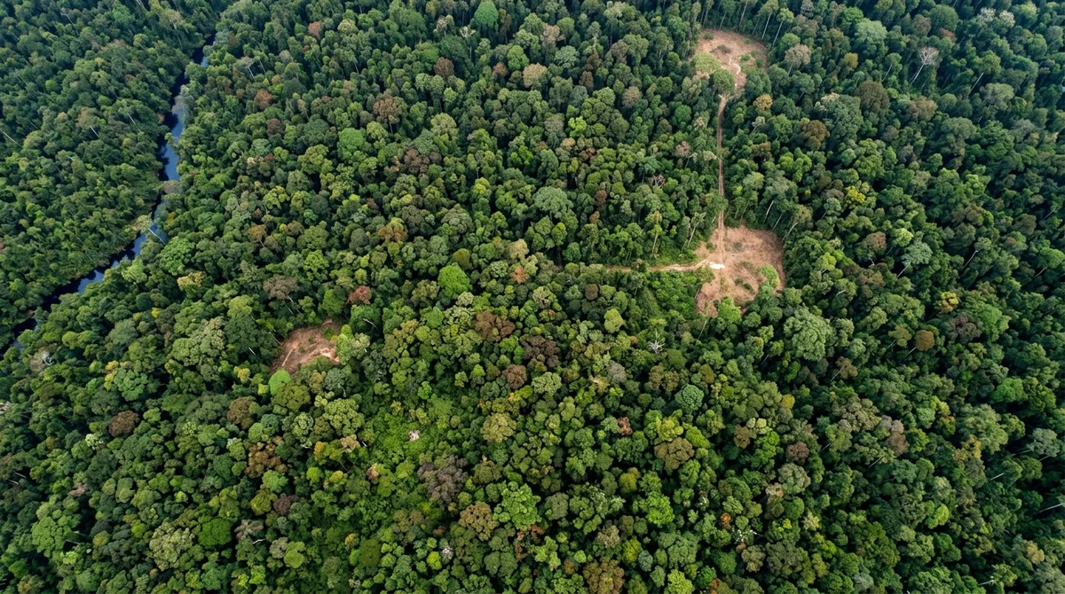
The Canopy Height Maps v2 (CHMv2) neural network, developed by Meta in partnership with the World Resources Institute using machine learning, can analyze the state of forests worldwide with unprecedented accuracy. It is being made openly available for the first time.
How does the neural network analyze forests?
The model uses NASA GEDI and Sentinel-1 satellite data to analyze the structure of the forest canopy. The network is trained to predict the height of the uppermost layer of trees at a resolution of 30 meters.
*Meta has been designated an extremist organization and is banned in Russia.
- Nov 2, 2026Meta's Muse assistant keeps dossiers on loved ones and gets root on Ubuntu by default
- Nov 2, 2026The Verge reviewer builds a $50 Meta Muse Charm alternative with Claude Code
- Nov 1, 2026MoneyGate safety layer blocked all 42 fraudulent requests to local AI models
- Oct 31, 2026Open-source LLM gateway KTMS 1.0 plugs your own GPUs into the cloud and survives outages
Test Frontier LLMs & Autonomous Agents in One Workspace
Run Claude Opus 5.5, GPT-6, Gemini 3.1, and DeepSeek side-by-side in Nomad AI (nomadnet.ai) — unified model routing, deep research, and multimodal workflows under one subscription.
The AI world, distilled — once a week
Seven stories that actually mattered, hand-picked. No noise, no reposts, no press releases.
Done! Check your inbox for a confirmation.