AlphaEarth: How DeepMind's AI Model Monitors Earth's Climate
DeepMind has unveiled AlphaEarth Foundations, an AI model for global Earth monitoring that merges petabytes of satellite data from fifty sources into a single map. Its 10x10 meter resolution lets it see through clouds and detect small changes on the planet's surface. The model helps track deforestation, climate change and agricultural trends. More than 50 organizations and NGOs are already testing the dataset.
AI-processed from DeepMind Blog; edited by Hamidun News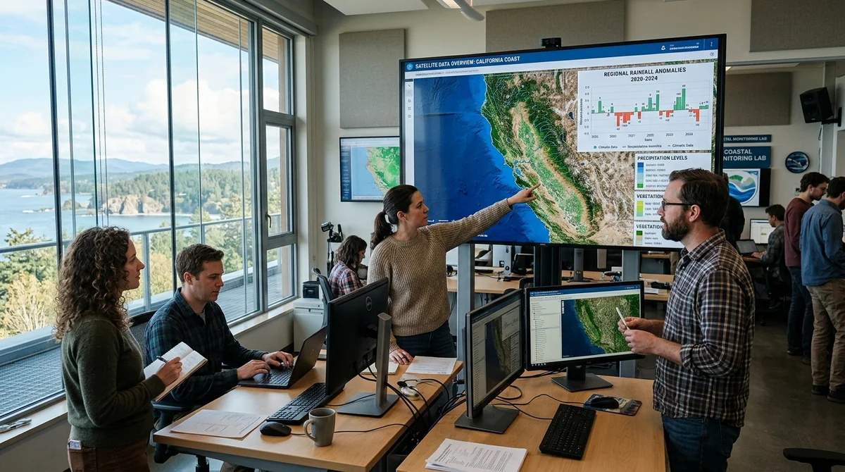
DeepMind has built AlphaEarth Foundations, a neural network for global Earth monitoring that merges petabytes of satellite data into a single map and helps scientists track changes in climate, forests and agriculture in unprecedented detail.
How does the
AlphaEarth neural network analyze satellite imagery? The model analyzes the land surface and coastal waters in 10 by 10 meter squares, combining information from fifty sources: optical satellite imagery, radar, laser scanning and climate models.
Where is AlphaEarth AI used?
For tracking climate change, monitoring forests and analyzing agriculture with unprecedented accuracy.
What data does AlphaEarth analyze?
AlphaEarth combines information from fifty sources: optical satellite imagery, radar, laser scanning, climate models and other datasets. It analyzes the land surface in 10 by 10 meter squares.
What is this neural network used for?
AlphaEarth helps scientists track changes in climate, forest condition and agriculture across the planet in unprecedented detail.
- Nov 2, 2026Bun creator uses Claude Code to port 750K lines from Zig to Rust in 11 days
- Nov 2, 2026The Verge reviewer builds a $50 Meta Muse Charm alternative with Claude Code
- Nov 1, 202616 models tested on 7 search tools: Exa averaged 10.5 out of 14, SearXNG about 3
- Nov 1, 2026Google's StreamVibe video agent beats other models by 10.7% on response timing and quality
Key Questions Answered
How does the AlphaEarth neural network analyze satellite imagery?
The model analyzes the land surface and coastal waters in 10 by 10 meter squares, combining information from fifty sources: optical satellite imagery, radar, laser scanning and climate models.
Where is AlphaEarth AI used?
For tracking climate change, monitoring forests and analyzing agriculture with unprecedented accuracy.
What data does AlphaEarth analyze?
AlphaEarth combines information from fifty sources: optical satellite imagery, radar, laser scanning, climate models and other datasets. It analyzes the land surface in 10 by 10 meter squares.
What is this neural network used for?
AlphaEarth helps scientists track changes in climate, forest condition and agriculture across the planet in unprecedented detail.
Ship AI Faster with Founders, Engineers & Weekly Architecture Reviews
Inside Vibe Club (hamidun.com/club) — weekly live masterminds with Zhemal Khamidun, Tech Radar, full LMS access, and 370+ production Claude Code skills.
The AI world, distilled — once a week
Seven stories that actually mattered, hand-picked. No noise, no reposts, no press releases.
Done! Check your inbox for a confirmation.