German scientists trained AI to track glaciers with meter-level precision
FAU University developed an adaptive method that allows AI to accurately track glacier edges in satellite images. The new technique reduces average error from 1
AI-processed from IEEE Spectrum AI; edited by Hamidun News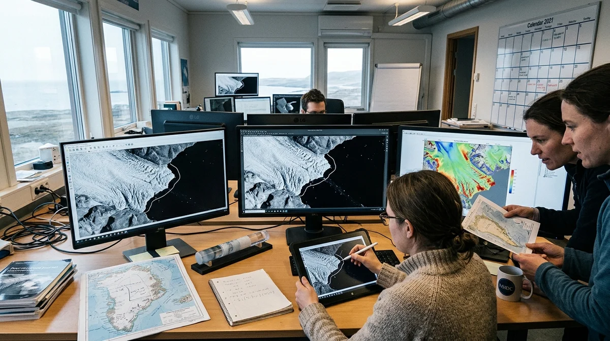
Researchers from German university FAU developed a method that enables neural networks to automate glacier tracking from satellite images. The new method requires minimal labeled data and achieves accuracy comparable to manual analysis.
Why glaciers are critical
Glaciers flowing into the ocean are a critical part of Earth's climate. When they melt and calve icebergs from their calving fronts—the edges where ice breaks off into water—they release enormous volumes of freshwater into the ocean. This changes ocean currents, raises sea levels, and disrupts local climate systems.
White, ice-covered glaciers reflect most of the sun's radiation back into space. But when they disappear, exposed dark seawater begins to absorb that radiation, intensifying planetary warming. It's a closed loop: warming → glacier melting → darkened surface → even more warming.
Monitoring the state of thousands of glaciers manually is an insurmountable task for analysts. Computer vision could help, but existing models worked well only on data they were trained on. Applying a trained model to a new glacier in a new region meant getting an error of a kilometer.
How 70-meter accuracy was achieved
Researchers developed an adaptive approach. Instead of fully retraining the model for each glacier, they used an already-trained neural network and refined it by adding minimal new information:
- One manually labeled image for each glacier
- Several summer satellite images without labels (ice is cleaner in summer)
- Bedrock map from open data
First, a model trained on 681 images of 7 glaciers in Antarctica, Greenland, and Alaska had an error of 1131 meters when applied to Svalbard glaciers. After adding one labeled image for each of 145 glaciers, the error dropped to 445 meters. Summer reference images, where ice-water boundaries are clearer, reduced it to 205 meters. The bedrock map—which helps distinguish a glacier from a jumble of floating ice—brought the error down to 103 meters. An ensemble of five model versions, averaged together, gave final accuracy: 68.7 meters.
"People themselves aren't very consistent in marking boundaries, especially when there's a mix of ice or when satellite image quality is low," explains
Nora Gurmelon, a graduate student at FAU.
Application: 145 glaciers over nine years
Researchers have already applied the method to 145 glaciers in the Norwegian archipelago of Svalbard, analyzing satellite images from 2015 to 2024. Most glacier research is conducted on yearly or decadal timescales. But thanks to automation, they were able to calculate glacier edge position for each month—over 203,000 annotations in total. This gives climatologists a much more detailed, almost video-like view of how glaciers move and melt. The team now plans to expand the approach to 1,500 glaciers in the Arctic. If the satellite and region remain the same, the model doesn't need to be retrained—it continues to work.
What this means
Glacier monitoring is transitioning from labor-intensive research projects to a practical tool. If the approach is developed further, it will be possible to track climate changes in real time across thousands of glaciers, giving climatologists more accurate melt maps and more reliable predictions of sea level rise.
Want to stop reading about AI and start using it?
AI News is a curated feed of AI/tech news. Hamidun Academy teaches you to use AI systematically in your work.