German researchers train AI to track glaciers to within meters
Friedrich-Alexander University (FAU) has developed an adaptive method that lets AI accurately track glacier fronts in satellite images. The technique cuts the average error from 1,100 meters to 70 meters and needs only one labeled image per glacier. The researchers have already applied the approach to 145 glaciers in Svalbard and plan to extend it to 1,500 glaciers across the Arctic.
AI-processed from IEEE Spectrum AI; edited by Hamidun News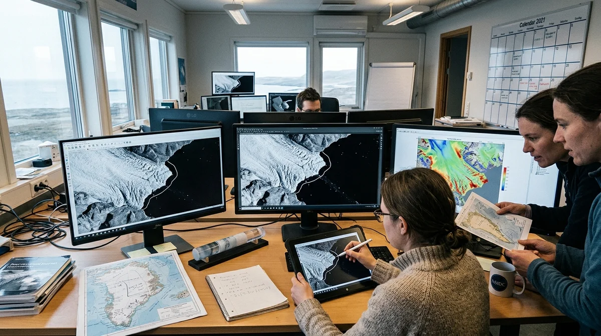
Researchers at Germany's FAU university have developed a way for neural networks to automate glacier tracking from satellite images. The new method needs minimal labeled data and reaches accuracy comparable to manual analysis.
Why glaciers matter
Glaciers that flow into the ocean are a critical part of Earth's climate. When they melt and icebergs break off at "calving fronts" (the edges of a glacier where ice breaks off into the water), they release huge volumes of fresh water into the ocean. This changes ocean currents, raises sea levels and disrupts local climate systems.
White, ice-covered glaciers reflect much of the sun's radiation back into space. But when they disappear, the exposed dark seawater starts absorbing that radiation, adding to the planet's warming. It is a vicious circle: warming → glacier melt → darker surface → even more warming.
Monitoring thousands of glaciers by hand is an impossible task for analysts. Computer vision could help, but existing models performed well only on the data they were trained on. Applying a trained model to a new glacier in a new region meant an error of a kilometer.
How the team reached 70-meter accuracy
The researchers developed an adaptive approach. Instead of retraining the model from scratch for each glacier, they took an already trained neural network and fine-tuned it, adding a minimum of new information:
- One manually labeled image per glacier
- Several unlabeled summer satellite images (the ice is cleaner in summer)
- A bedrock map from open data
First, the model, trained on 681 images of 7 glaciers in Antarctica, Greenland and Alaska, was off by 1,131 meters when applied to glaciers in Svalbard. After adding one labeled image for each of the 145 glaciers, the error fell to 445 meters. Summer reference images, in which the boundaries between ice and water are sharper, cut it to 205 meters. A substrate map (it helps distinguish a glacier from a jumble of floating ice) brought the error down to 103 meters. An ensemble of five model versions, averaged together, gave the final accuracy: 68.7 meters.
"People themselves are not very consistent when labeling boundaries, especially when there is a jumble of ice or the satellite image quality is low," explains
Nora Gourmelon, a PhD student at FAU.
In practice: 145 glaciers over nine years
The researchers have already applied the method to 145 glaciers in the Norwegian archipelago of Svalbard, analyzing satellite images from 2015 to 2024. Most glacier research is conducted on an annual or decadal scale. Thanks to automation, however, the team was able to determine the glacier front position for every month, with more than 203,000 annotations in total. This gives climatologists a far more detailed, almost video-like picture of how glaciers move and melt.
The team now plans to extend the approach to 1,500 glaciers in the Arctic. If the satellite and the region stay the same, the model does not need retraining; it keeps working.
What this means
Glacier monitoring is moving from labor-intensive research projects to a practical tool. If the approach is developed further, it could make it possible to track climate change in real time across thousands of glaciers, giving climatologists more accurate melt maps and more reliable sea-level-rise forecasts.
- Nov 2, 2026The Verge reviewer builds a $50 Meta Muse Charm alternative with Claude Code
- Nov 2, 20268 Skills for video in Claude Code: from 244 pixel effects to rough-cut editing
- Nov 1, 2026Pika Labs releases open video model H3 Flex: 6 steps instead of 50
- Nov 1, 2026Google's StreamVibe video agent beats other models by 10.7% on response timing and quality
Key Questions Answered
Why glaciers matter?
Glaciers that flow into the ocean are a critical part of Earth's climate. When they melt and icebergs break off at "calving fronts" (the edges of a glacier where ice breaks off into the water), they release huge volumes of fresh water into the ocean. This changes ocean currents, raises sea levels and disrupts local climate systems. White, ice-covered glaciers reflect much of the sun's radiation back into space. But when they disappear, the exposed dark seawater starts absorbing that radiation, adding to the planet's warming. It is a vicious circle: warming → glacier melt →
How the team reached 70-meter accuracy?
The researchers developed an adaptive approach. Instead of retraining the model from scratch for each glacier, they took an already trained neural network and fine-tuned it, adding a minimum of new information: One manually labeled image per glacier Several unlabeled summer satellite images (the ice is cleaner in summer) A bedrock map from open data First, the model, trained on 681 images of 7 glaciers in Antarctica, Greenland and Alaska, was off by 1,131 meters when applied to glaciers in Svalbard. After adding one labeled image for each of the 145 glaciers, the error fell
What are the key details on In practice: 145 glaciers over nine years?
The researchers have already applied the method to 145 glaciers in the Norwegian archipelago of Svalbard, analyzing satellite images from 2015 to 2024. Most glacier research is conducted on an annual or decadal scale. Thanks to automation, however, the team was able to determine the glacier front position for every month, with more than 203,000 annotations in total. This gives climatologists a far more detailed, almost video-like picture of how glaciers move and melt. The team now plans to extend the approach to 1,500 glaciers in the Arctic. If the satellite and the region
Test Frontier LLMs & Autonomous Agents in One Workspace
Run Claude Opus 5.5, GPT-6, Gemini 3.1, and DeepSeek side-by-side in Nomad AI (nomadnet.ai) — unified model routing, deep research, and multimodal workflows under one subscription.
The AI world, distilled — once a week
Seven stories that actually mattered, hand-picked. No noise, no reposts, no press releases.
Done! Check your inbox for a confirmation.