DeepMind Created AlphaEarth — A Model for Global Earth Monitoring
DeepMind unveiled AlphaEarth Foundations — an AI model for global Earth monitoring that combines petabytes of satellite data from fifty sources into a single map. The 10x10 meter resolution allows it to see through clouds and detect subtle changes on the Earth's surface. The model helps track deforestation, climate changes, and agricultural trends. Over 50 organizations and NGOs are already testing the dataset.
AI-processed from DeepMind Blog; edited by Hamidun News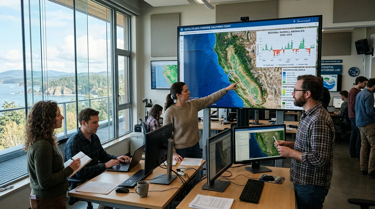
DeepMind unveiled AlphaEarth Foundations — an artificial intelligence system that combines petabytes of satellite data into a single map of the entire Earth and helps scientists track climate, forest, and agricultural changes with unprecedented detail.
How the Virtual Satellite Works
AlphaEarth functions as a virtual satellite: it analyzes the Earth's surface and coastal waters in 10x10 meter squares. The model combines information from fifty sources — optical satellite imagery, radar, laser scanning, climate models, and other datasets. The key feature: the system sees through clouds and detects fine details that ordinary images miss.
In Ecuador, the model discerned the stages of agricultural plot development through persistent cloud cover — a task extremely difficult for conventional satellites. In Antarctica, the model mapped the complex glacial landscape with high accuracy, despite this region traditionally being difficult to survey due to specific lighting conditions. In Canada, the system detected variations in agricultural land use that are completely invisible in ordinary photographs.
How to Integrate the Incompatible
Before AlphaEarth, scientists and organizations faced a critical problem: an enormous excess of data from different sources and their complete incompatibility. Satellites, radars, and lasers provide information in different formats, with different spatial resolutions, and at different times. Manually integrating all these sources was virtually impossible — it required months of work.
AlphaEarth solves this elegantly: it transforms all types of satellite data into a unified digital representation — a 64-dimensional vector (embedding) that computers can easily process. This allows machine learning to find patterns, compare distant regions, and track changes over time without information loss. The model creates complete Earth maps annually.
DeepMind released this data on Google Earth Engine — an open platform for satellite imagery analysis used by universities and NGOs. Over fifty organizations are already testing the dataset on real-world tasks in ecology, agriculture, and land monitoring.
Early Results from Partners
- Classification of unexplored ecosystems with previously impossible accuracy
- Real-time monitoring of agricultural changes
- 10x acceleration of geographic map creation
- Monitoring of deforestation and urbanization processes
- Tracking of water resources and freshwater lakes
Organizations already using AlphaEarth report significant improvements in results. The system saves months of manual work and increases analysis accuracy by an order of magnitude. For example, environmental organizations now detect deforestation not in six months, but almost in real time. Agricultural companies can forecast yields based on land use patterns.
What This Means
AlphaEarth marks a transition in satellite observation from semi-raw, incompatible information to a standardized and accessible tool. For climatologists, ecologists, agronomists, and governments, this means the ability to monitor our planet with unprecedented clarity and make more informed decisions about protecting land, water, and forests. The model will become the foundation for a new class of monitoring tools — both open-source and commercial.
Want to stop reading about AI and start using it?
AI News is a curated feed of AI/tech news. Hamidun Academy teaches you to use AI systematically in your work.
The AI world, distilled — once a week
Seven stories that actually mattered, hand-picked. No noise, no reposts, no press releases.
Done! Check your inbox for a confirmation.