Meta and World Resources Institute Create Accurate Global Forest Maps
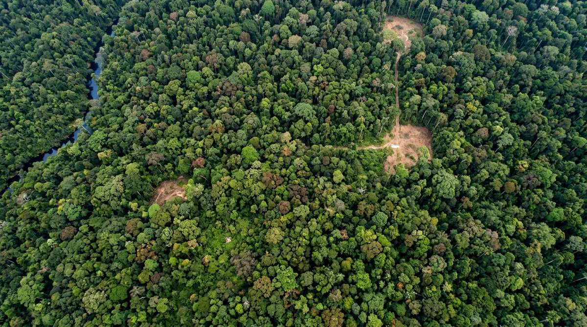
Meta and World Resources Institute released Canopy Height Maps v2 — an open forest canopy height map powered by AI. The model analyzes satellite data from GEDI
◐ Listen to article
Meta and World Resources Institute released Canopy Height Maps v2 — an open forest canopy height map powered by AI. The model analyzes satellite data from GEDI and Sentinel-1 and maps forest structure across the planet. The tool helps track deforestation, carbon stocks, and ecosystem health. *Meta is recognized as an extremist organization and banned in Russia.