Meta and World Resources Institute Created Precise Forest Maps of the Entire Planet
Meta with World Resources Institute released Canopy Height Maps v2 — an open map of forest canopy height based on AI. The model analyzes satellite data from GED
AI-processed from Meta AI Blog; edited by Hamidun News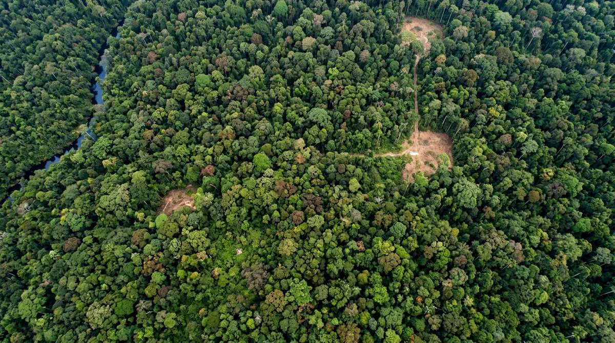
Meta in partnership with World Resources Institute released Canopy Height Maps v2 (CHMv2) — an open map of forest canopy height based on machine learning. The new tool allows analyzing the state of forests worldwide with unprecedented accuracy and is provided in open access for the first time.
How the New Version Works
CHMv2 uses NASA GEDI and Sentinel-1 satellite data to analyze forest canopy structure. The model's neural network is trained to predict the height of the upper layer of trees by processing information at a 30-meter resolution. The map covers territory between 52°N and 52°S, encompassing the vast majority of the world's forests — from tropics to taiga. The second version is improved compared to the first: accuracy increased to 5 meters, analysis speed accelerated, and data updates more frequently. The entire model and set of maps are open for download and use.
What This Gives to Science and Nature Conservation
Forest canopy height directly correlates with carbon stocks. The higher the canopy, the more biomass in the forest, the more carbon sequestered. This information is critical for assessing forests' contribution to climate and planning conservation measures.
- Monitoring deforestation and forest restoration
- Assessing carbon stocks for climate agreements
- Planning protected areas and national parks
- Tracking forest degradation and diseases
- Supporting indigenous peoples in protecting their territories
Ecologists already use CHM to detect illegal logging in the Amazon and Congo. Companies use the maps to verify ESG commitments. International organizations monitor compliance with the Paris Agreement and UN Sustainable Development Goals.
Why Meta Opened the Data
Tech companies often keep useful models to themselves, but Meta chose a different path. Opening CHMv2 allows researchers from the poorest countries, where forests degrade fastest, to access monitoring tools. This strengthens Meta's position as a company investing in global climate challenges.
What This Means
Open geographic data and AI are becoming new infrastructure for science and nature conservation. CHMv2 is an example of how large technology companies can help protect the planet without expecting profit. The maps are already saving forests, and their importance will grow.
*Meta is recognized as an extremist organization and is banned in Russia.
Want to stop reading about AI and start using it?
AI News is a curated feed of AI/tech news. Hamidun Academy teaches you to use AI systematically in your work.